Region M Planning Group
 Stretching from the subtropical Gulf shores of Cameron County in the south and along the Rio Grande to the rolling, native range land of Maverick County in the northwest, the Rio Grande Regional Water Planning Area includes eight counties. Its major cities include Brownsville, McAllen, Laredo, Harlingen, and Eagle Pass. Over 60 percent of the region lies within the Rio Grande Basin, with the Rio Grande being the region's primary source of water. The largest economic sectors in the region are agriculture, trade, services, manufacturing, and hydrocarbon production. The Rio Grande, its tributaries, and an international reservoir system will remain the region's primary source of water for the foreseeable future.
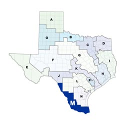
For a detailed map of Region M, please visit the Texas Geographic Information Office (TxGIO) Regional Water Planning Area Map Collection.
Rio Grande (Region M) RWPG External Website
Region M Counties
- Cameron
- Hidalgo
- Jim Hogg
- Maverick
- Starr
- Webb
- Willacy
- Zapata
Meeting Minutes & Updates
Meeting Minutes: Visit the "Meetings"/"Minutes" link on Region M's External Website for official planning group meeting minutes.
Next Meeting: Please see the Upcoming Regional Water Planning Group Meetings webpage for information on the next Region M meeting.
Region M Bylaws
Region M Water Plans
Projections Data
Region M Related Links
TWDB Contacts for Region M
For regional water planning assistance, please contact Noah Powell, Region M Planner.
For regional water project development assistance, please contact Kevin Smith, Team 6 Manager.