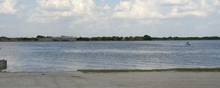
Lake Waxahachie (Trinity River Basin)
 Lake Waxahachie, also known as South Prong Dam, is located about four miles south of Waxahachie in Ellis County, on South Prong Creek, a tributary of Chambers Creek, which is a tributary to Richland Creek, which in turn is a tributary of the Trinity River. The lake is owned and operated by Ellis County Water Control and Improvement District Number One for municipal and industrial uses to the city of Waxahachie. State Board of Water Engineers authorized the dam and impoundment by issuing the Permit No. 1742 (Application No. 1874) dated March 14, 1955.
Construction began on April 18, 1956 and was completed and deliberate impoundment of water began in November 1956. The lake was full and spilled in May 1957. Diversion began for municipal use in August 1957. The South Prong Dam and appurtenant structures consist of a rolled-earth embankment approximately 3,800 feet in length, with a maximum height of 66 feet and a crest elevation of 541.5 feet above mean sea level. The service spillway is located immediately to the south (right) of the dam and is an uncontrolled concrete weir with a crest length of 300 feet at an elevation of 531.5 feet above mean sea level. At its normal pool elevation, 531.5 feet above mean sea level, the lake has a surface area of 656 acres and a storage capacity of 11,386 acre-feet. The dam controls a drainage area of about thirty square miles.