Sulphur Springs Lake (Sulphur River Basin)
 Lake Sulphur Springs is located about two miles northwest of Sulphur Springs in Hopkins County, TX on White Oak Creek, a tributary of the Sulphur River, below Century Lake and White Oak Lake. The dam of Century Lake was breached in 1980's so now becomes part of Lake Sulphur Springs during high water. While the dam of White Oak Lake was basically merged. Authorization of the new dam with an increased elevation and new spillway was granted on January 28, 1971.
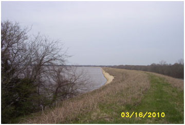
Construction started November 11, 1971 and deliberate impoundment began July 24, 1973. Completion is estimated in January 1974. The dam is an earthfill embankment of 6,232 feet long including the service spillway. The top of the dam is at elevation of 474 feet above mean sea level. The uncontrolled emergency spillway is located beside the left end of the dam with its crest at elevation of 462 feet above mean sea level. The service spillway is located near the center of the dam and is a type of concrete ogee divided into two sections. One section (45 feet in length) is controlled by four vertical gates with the crest at elevation of 441 feet above mean sea level. The other section (net 20 feet in length) has no control with its crest at a higher elevation, 457 feet above mean sea level. According to the owner of lake, the conservation pool elevation has been increased to 459 feet above mean sea level by installing a two foot "I" beam in the service spillway in 1984. At this level, the lake should stored 17,838 acre-feet of water encompassing a surface area of about 1,340 acres. Currently, Lake Sulphur Springs acts as back-up source to the City of Sulphur Springs, which normally gets water supply from Jim Chapman Lake. The dam controls a drainage area of about 66 square miles.