Region 11 Guadalupe Flood Planning Region
 The Guadalupe River and its contributing creeks and streams flow from the Texas Hill Country as far west as Kerr County on its way to San Antonio Bay. The Comal, Blanco and San Marcos Rivers all feed the Guadalupe along this region. The adjacent San Antonio River flows into the Guadalupe just before it enters San Antonio Bay and the Gulf of Mexico. This region is home to five major lakes and reservoirs and crosses five diverse ecoregions.
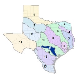
For a detailed map of Region 1, please visit the Texas Geographic Information Office (TxGIO) Flood Planning Regions Map Collection.
Go to Region 11 Guadalupe RFPG External Host Website
Population Estimate (2019): 621,166
Approximate Area: 6,030 square miles
Approximate Stream Miles: 5,531
Approximate NFIP Claims (1975-2019): $249,600,821
Counties Represented:
- Bandera*
- Bastrop*
- Blanco*
- Caldwell*
- Calhoun*
- Comal*
- De Witt*
- Fayette*
- Gillespie*
- Goliad*
- Gonzales*
- Guadalupe*
- Hays*
- Karnes*
- Kendall*
- Kerr*
- Lavaca*
- Real*
- Refugio*
- Travis*
- Victoria*
- Wilson*
*indicates this county is partially within this RFPG and is also represented by at least one other RFPG
Major Cities (Population greater than 25,000):
- Canyon Lake
- Cibolo*
- Kyle
- New Braunfels*
- San Marcos
- Schertz*
- Seguin
- Victoria*
*indicates this city is partially within this RFPG and is also represented by at least one other RFPG
Major Lakes & Reservoirs:
- Canyon Lake
- Coleto Creek
- Lake Dunlap
- Lake Gonzales (H-4)
- Lake McQueeney
Ecoregions of Texas Represented:
- Blackland Prairie
- Edwards Plateau
- Gulf Prairies
- Post Oak Savanah
- South Texas Plains
Regional Flood Planning Group Meeting Minutes & Updates
Please see the RFPG Meeting Schedule webpage for information on the past and upcoming meetings.
Contacts
Planning Group Sponsor Contact: Guadalupe-Blanco River Authority, Brian Perkins, (830) 560-3983
Planning Group Chair: John Johnston, P.E., CFM, (361) 578-0758
TWDB Contact: Cynthia Nolasco, (512) 475-1806